Research Themes

Semiarid Hydrology
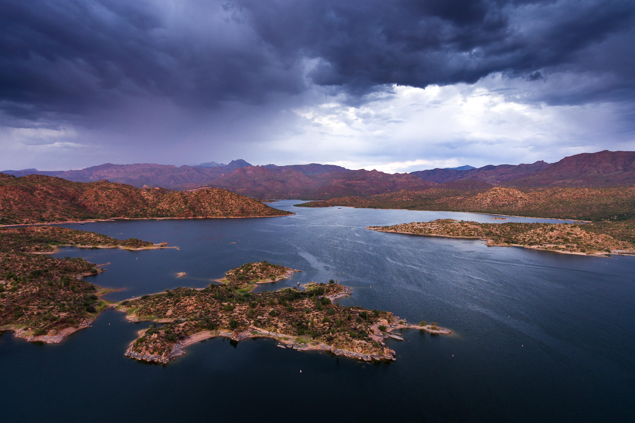
Our group has long-term experiments across a range of watersheds (shrublands, grasslands, forests) where we combine field instrumentation, sampling, remote sensing, and physically-based hydrologic modeling. We advance knowledge in arid and semiarid hydrology for land and water managers. To do so, we study hydrologic patterns, atmospheric, ecologic and geomorphic interactions, and link these to sustainable water resources. Recent publications include Schreiner-McGraw et al. (2020), Vivoni et al. (2021), Vivoni et al. (2022), and Keller et al. (2023). This work has been funded by the NSF LTER Program, US Army Research Office, Department of Energy, Salt River Project and USDA, among others.
- Water, energy, and carbon dioxide exchanges across different ecosystems (Dr. Eli Perez-Ruiz)
- Soil moisture variations in upland watersheds and ephemeral playas from field sensors (Ruby Hurtado)
- Closing the water budget of a forested watershed through instrumentation and data analysis (Jonna Urban)
- Streamflow forecasting in upland forested watersheds using advanced snow products (Luke Fredenberg)
- Forest–snow–water interactions and ecohydrology of the mountain critical zone (Dr. Ravindra Dwivedi)
Urban Hydrology
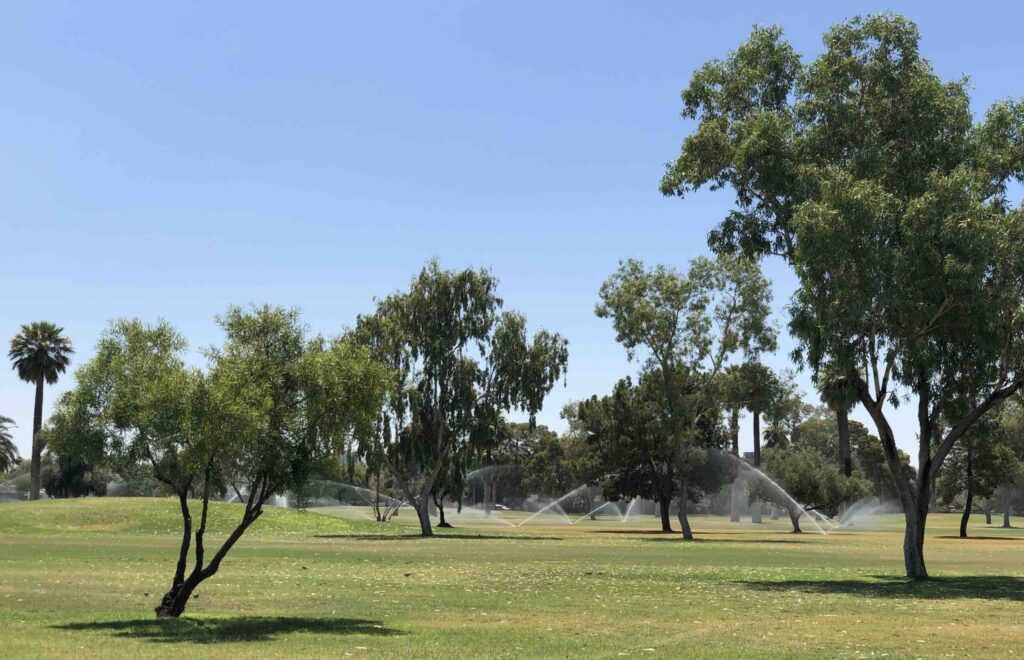
Our group conducts short-term measurements, manipulative experiments and remote sensing analyses in urban systems to study ecohydrological processes under different management scenarios. We focus on the use of hydrologic models to propose water conservation. We are advancing how urban vegetation systems are managed through science-based outcomes. Results from these efforts are important for managing water resources, urban heat and carbon emissions. Recent publications include Perez-Ruiz et al. (2020), Vivoni et al. (2020), and Kindler et al. (2022). This work has been funded by Salt River Project, Department of Energy, and Central Arizona Project, among others.

- Water conservation, heat mitigation, and carbon fluxes in urban parks (Prof. Enrique Vivoni)
- Estimating evaporation from pan evaporation devices and open canals (Mary Ferguson)
- Urban flux measurements in Southwest Urban Corridor Integrated Field Laboratory (Dr. Nidia Rojas-Robles)
- Land-atmosphere interactions focusing on extreme heat, water use, and surface heterogeneity (Khayrun Mitu)

Hydrologic Impact Assessments
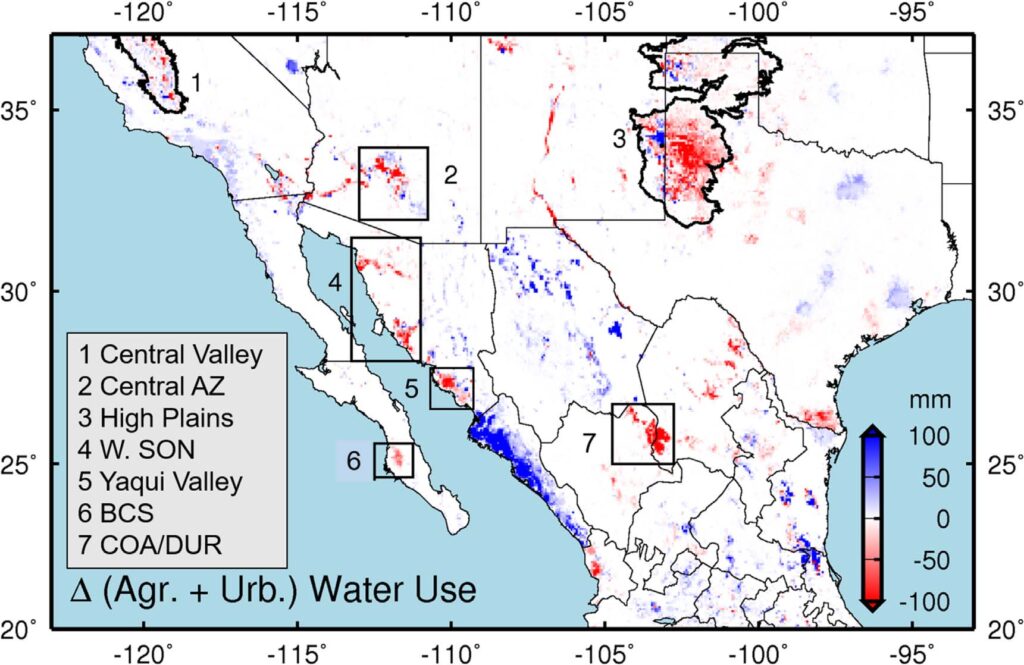
Our group uses hydrologic models forced with future projections of regional climate change and land cover transformations to conduct hydrologic impact assessments. Models are thoroughly tested with remote sensing and field data. These efforts inform short and long-term water resources planning and decision making by water utilities and infrastructure agencies. We are advancing knowledge on how hydrologic systems at regional and watershed scales respond to warming, forest disturbances and treatments, and urban growth. Recent publications include Bohn et al. (2018), Xiao et al. (2022), Wang and Vivoni (2022), Whitney et al. (2023), Wang et al. (2024) and Cederstrom et al. (2024). This work has been funded by the NASA Earth Science Applications, Central Arizona Project, and Salt River Project, among others.
- Drought, climate change and streamflow in the Colorado River Basin (Xinyu Chen)
- Analyzing future scenarios in the Colorado River Basin to support evidence-based policy-making (Nour Kandalaft)
- Estimating evapotranspiration impacts of forest thinning at multiple scales (Jose Becerra)
- Optimizing the spatial distribution of forest thinning to enhance water benefits (Akram Hossain)
- Effects of vegetation regrowth on hydrologic responses to forest thinning (Laura Gallegos)
- Paired watershed observational and modeling study in Upper Lake Mary (Ally Kundinger)
CubeSat Hydrology
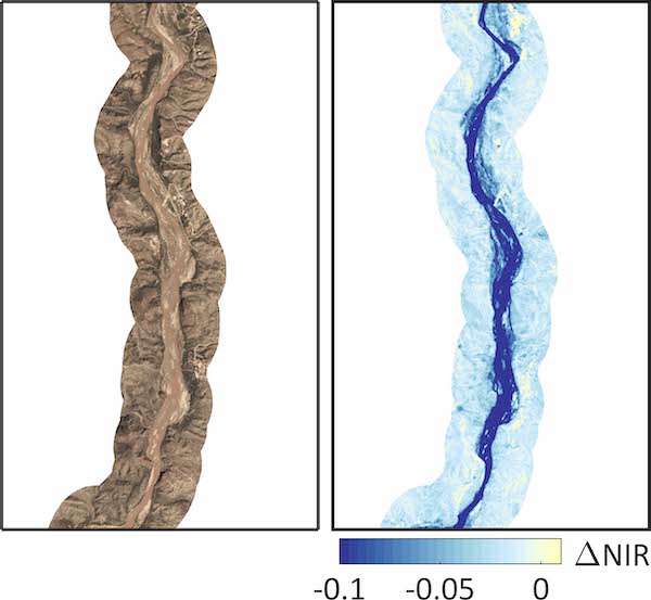
Our group conducts hydrologic investigations using constellations of small satellites (or CubeSats) along with other remote sensing platforms. These new observation platforms provide near-daily, high-resolution (3 to 4 m) imagery in four or more bands. Our work is based on Planet Labs imagery and has focused on detecting vegetation and water changes in urban parks, agricultural areas, rangelands, and rivers in arid and semiarid regions. Recent publications include Vivoni et al. (2020), Kindler et al. (2022), Wang and Vivoni (2022), and Wang et al. (2025). This work has been funded by NASA Commercial SmallSat program, ASU-Planet Labs Incubator, and Arizona Department of Environmental Quality, among others.

- Snow detection in mountain regions with ephemeral snowpacks using CubeSats (Dr. Zhaocheng Wang)
- Crop type mapping and temporal dynamics using CubeSats (Dr. Rose Barzin)
- Mapping streamflow presence and classifying flow regimes using CubeSats and machine learning (Jessie Salinas)
- Application of CubeSat data to characterize and model watershed dynamics (Dr. Ravindra Dwivedi)